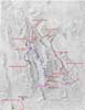
 | Our route within Death Valley superimposed upon a shaded relief map. These routes were captured by our GPS, uploaded to our computer and placed on the relief map using the OziExplorer software. |
|
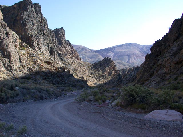
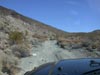
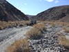
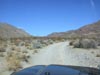
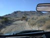
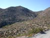
 | A view of the road descending into Last Chance Canyon past the Barnett Opal Mine. Last Chance Canyon is in the El Paso Mountains east of Red Rock Canyon State Park. And yes, that is a road. |
|
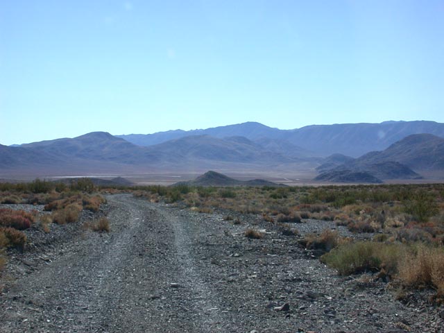
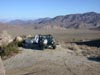
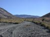
 | An alternate route between the Searles Valley and the Panamint Valley is BLM Route P168 over the Slate Range via Manly Pass. This photo shows the road rising out of the Searles Valley. |
|
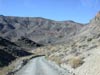
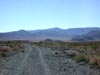
 | The Slate Range road climbing up towards Manly Pass. |
|
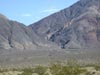
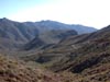
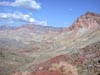
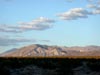
 | Nearing Manly Pass and a view of the Panamint Mountains. |
|
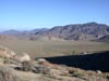
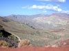
 | A fine view of the southern Panamint Valley from the Slate Range. |
|
 | The road descending into Fish Canyon with the Panamint Valley in the background. |
|
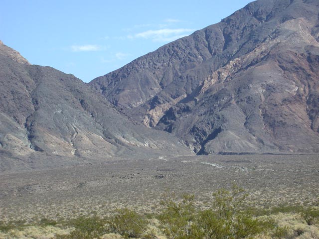
 | Looking across the southern tip of the Panamint Valley to Goler Canyon (where we're headed next). |
|
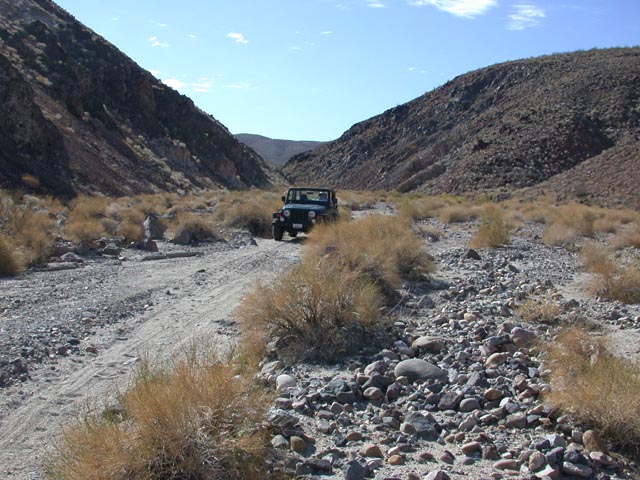
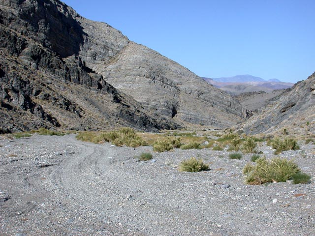
 | Coming down the wash in Fish Canyon. |
|
 | The road up the alluvial fan and the entrance to Goler Canyon. |
|
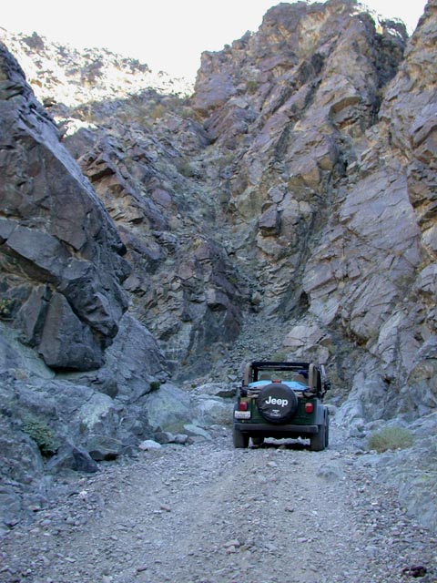
 | Lower Goler Canyon...where did the road go? |
|
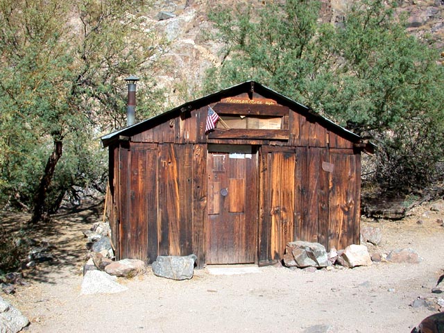
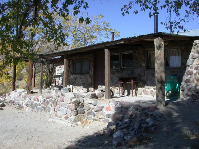
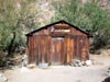 | Newman Cabin in mid Goler Canyon. |
|
 | The infamous Barker Ranch, above Goler Canyon, where Charles Manson was captured. |
|
 | Approaching Mengel Pass after leaving Goler Canyon. |
|
 | Mengel Pass...prospector Carl Mengel's ashes are interred in the rock monument. |
|
 | Striped Butte in Butte Valley (which is on the Death Valley side of Mengel Pass). |
|
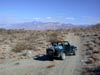
 | The road leading to our campsite in Butte Valley. The campsite was on the ridge to the left of the road. |
|
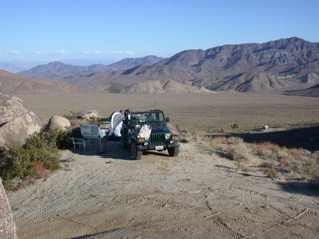
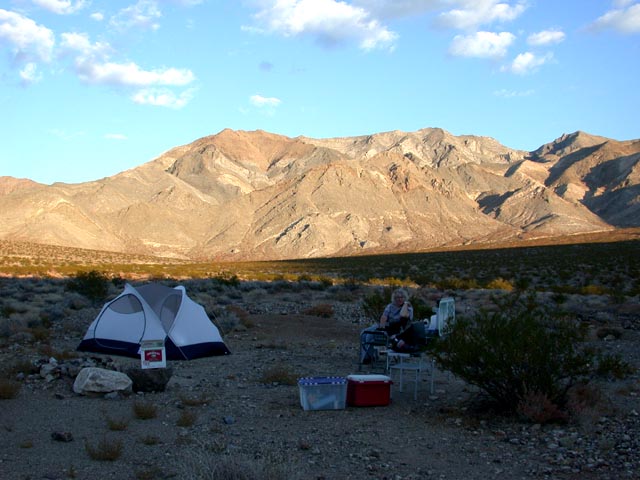
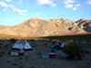
 | Our Butte Valley campsite with fantastic views out over Butte Valley. |
|
 | The Stone Cabin (aka Geologist's Cabin) and Anvil Spring can be seen down below. |
|
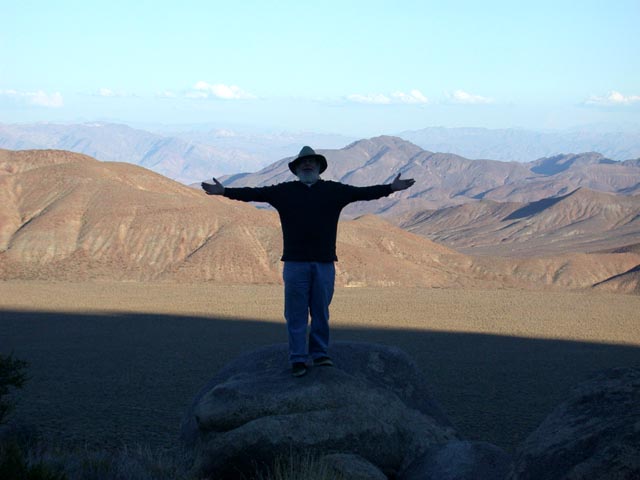
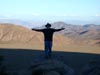 | "I'm the King of Butte Valley!" |
|
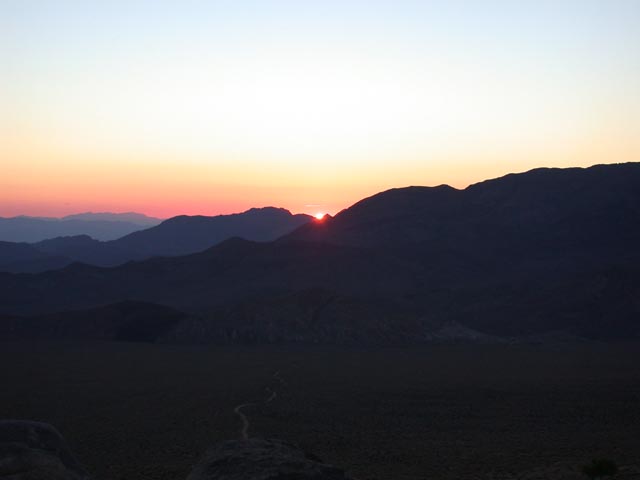
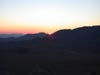 | Sunrise in Butte Valley. |
|
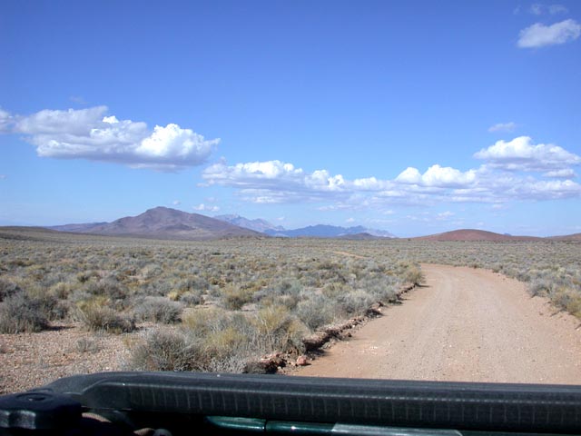
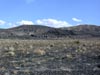
 | The Greenwater Valley Road. We hope to explore Greenwater Canyon and nearby Gold Valley on one of our future trips. |
|
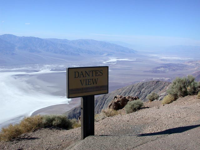
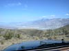
 | Looking north up Death Valley from Dante's View. |
|
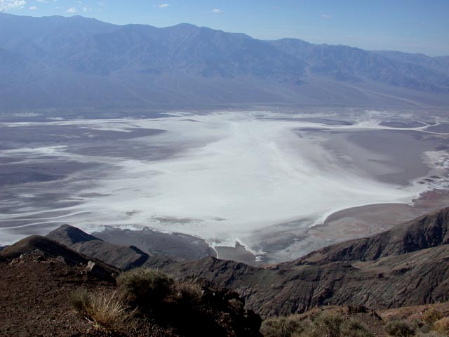
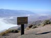
 | Looking down to Badwater directly below Dante's View. |
|
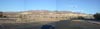 | Sunset Campground during the 49er's Encampment (you may need to use the horizontal scroll bar). |
|
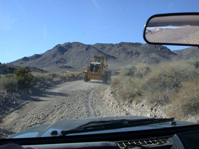
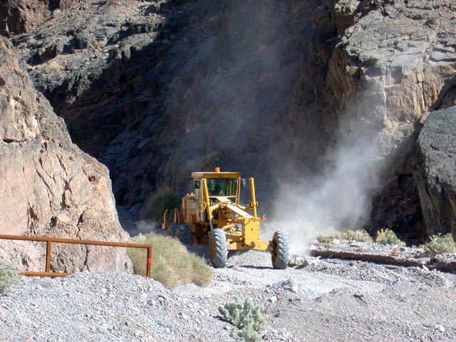
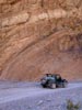
 | As we started driving the Titus Canyon Road, it seemed that the road had been recently bladed. We discovered how recently when we came upon the first of three graders working along the road. |
|
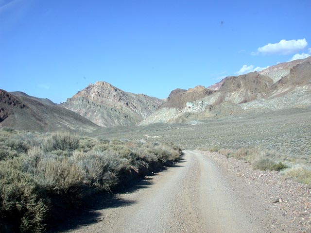
 | Approaching the mountains near the beginning of the Titus Canyon Road. |
|
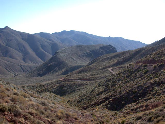
 | Approaching Red Pass. That's the road climbing up the mountainside in the background. |
|
 | Looking back along the approach to Red Pass. |
|
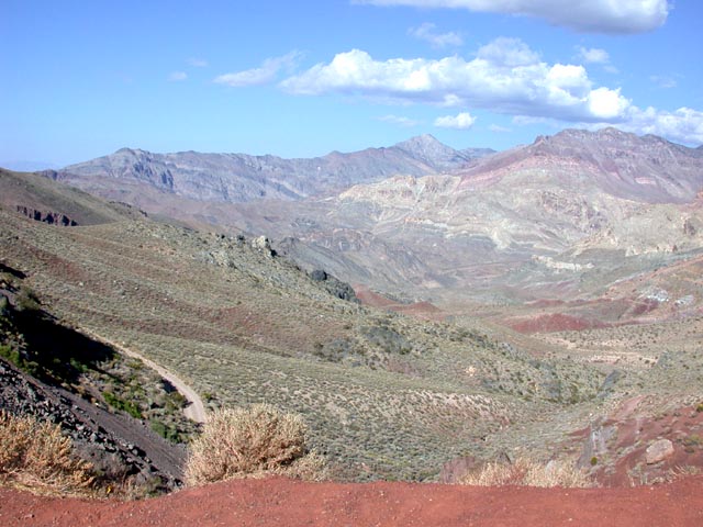
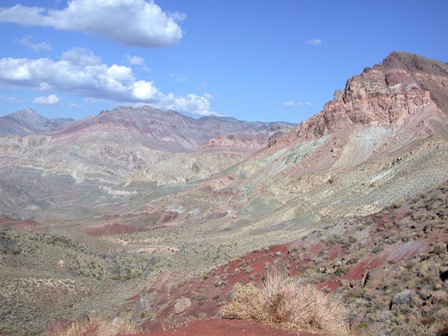
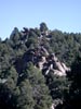
 | One of the fantastic views from Red Pass. |
|
 | Another of the views from Red Pass. |
|
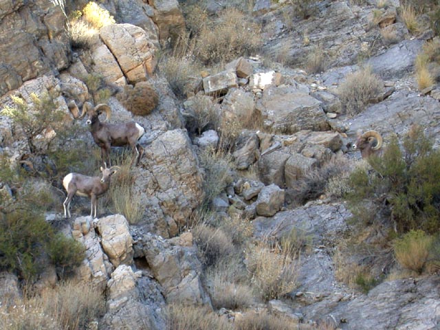
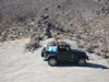
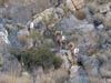
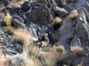 | Our first sighting of Bighorn sheep in Death Valley National Park. We had been hoping to sight these elusive creatures on one of our trips. This ram was just below the Leadfield ghost town. |
|
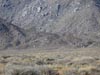
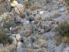 | Three of the five sheep we spotted in the first group we encountered. |
|
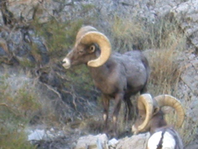
 | A close-up of the two rams. |
|
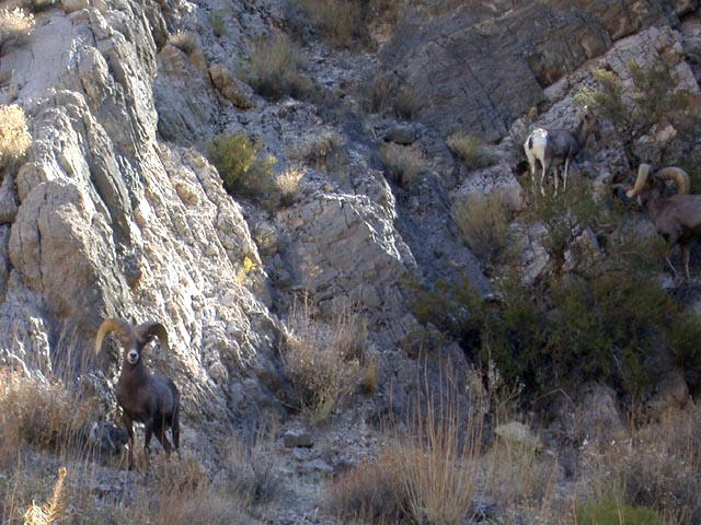
 | These animals have no problems with the steep rocky mountainside! |
|
 | This ram wasn't sure what to think about us and paced back and forth a bit. |
|
 | Entering the narrows in lower Titus Canyon. |
|
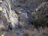
 | One of the sheer cliff walls along the canyon. |
|
 | The last grader we passed was working near the mouth of Titus Canyon. On some of the tight bends he had to back up to make the bend. |
|
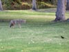 | As we were eating lunch at Scotty's Castle, this coyote came trotting along the edge of the grass. |
|
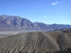
 | As we started on the Racetrack Road, we passed these eroded hills near Ubehebe Crater. |
|
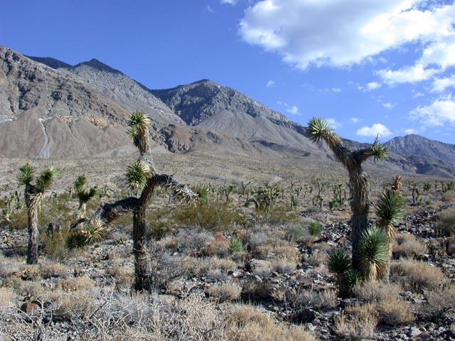
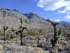 | The Joshua Tree forest along the Racetrack Road. |
|
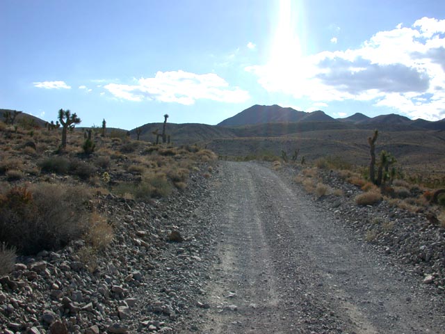
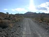 | Racetrack Road was in pretty good shape, but most of its 26 miles had some amount of washboard. |
|
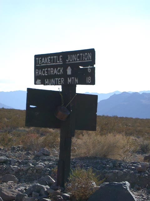
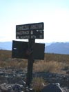 | We had heard that the Park Service had removed the tea kettles at Teakettle Junction. There was only one lonely tea kettle when we passed. |
|
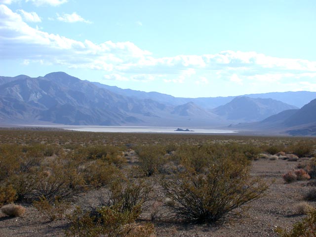
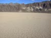
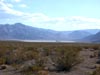 | Looking south down Racetrack Valley. |
|
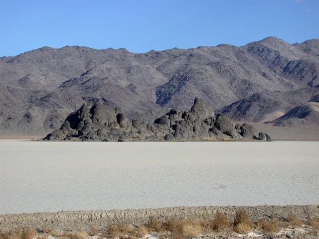
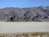 | The "Grandstand" in Racetrack Playa. |
|
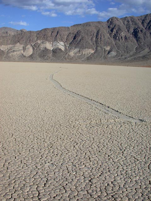
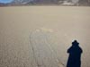
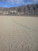 | A recent track on the playa. |
|
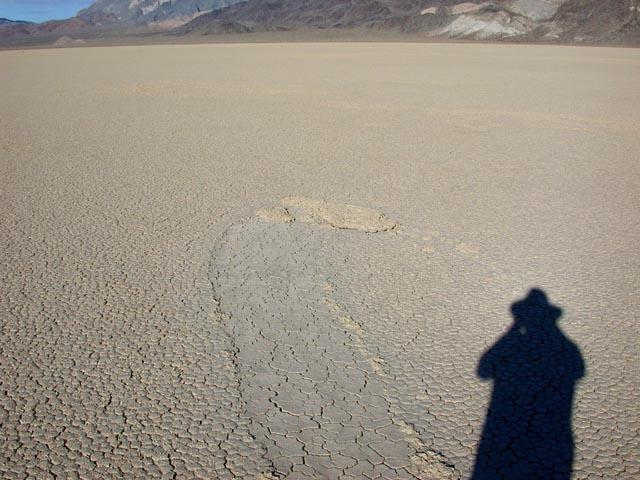
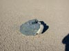
 | It appears that not only rocks leave tracks on the playa. In this case, at the end of the track was just a "plate" of mud! |
|
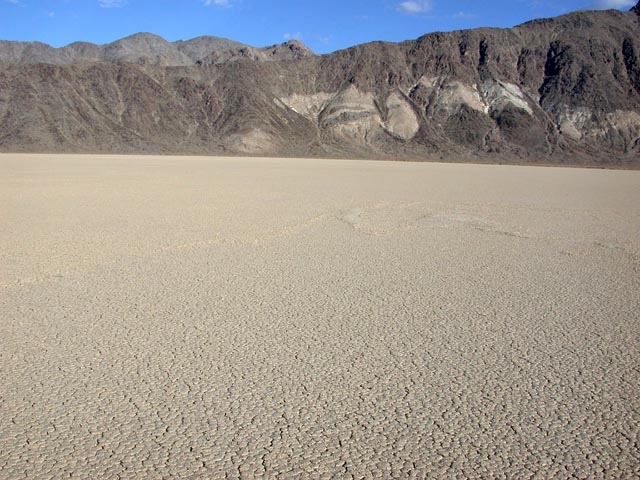
 | This was a serpentine ridge of mud, perhaps pushed up by water movement? |
|
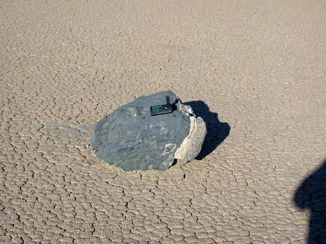
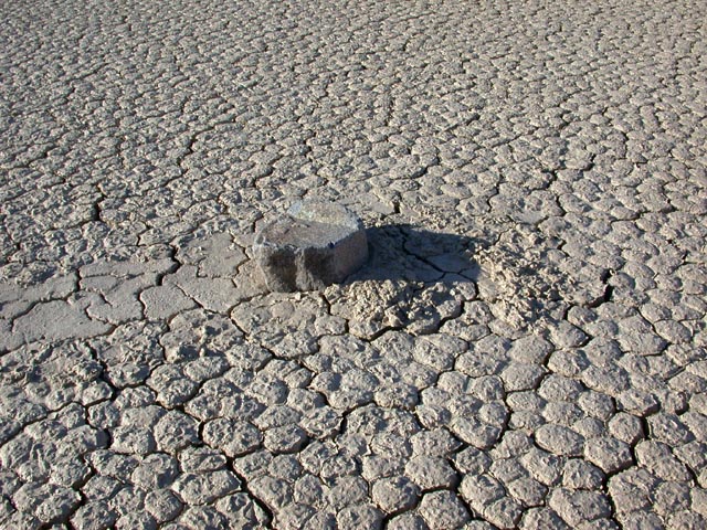
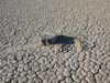
 | Coordinates taken with my GPS receiver indicated that this rock is the one named "Karen" by Dr. Paula Messina. |
|
 | A typical rock with a trail. Note that the mud doesn't appear to be pushed by the rock. |
|
 | Our campsite at the end of the Racetrack Road. |
|
 | Late afternoon at the south end of Racetrack Valley. |
|
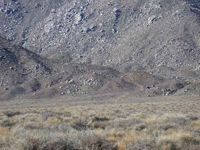
 | After Racetrack, we headed through Lost Burro Gap on our way towards Hidden Valley on the Hunter Mountain Road. |
|
 | Looking out from Lost Burro Gap into Hidden Valley. |
|
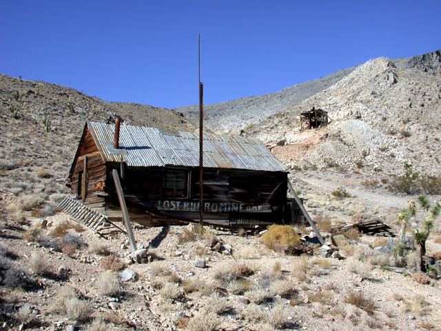
 | A short side trip from the Hunter Mountain road takes you to the Lost Burro Mine. |
|
 | A view across Hidden Valley. |
|
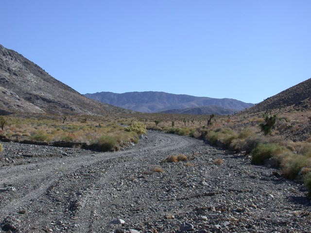
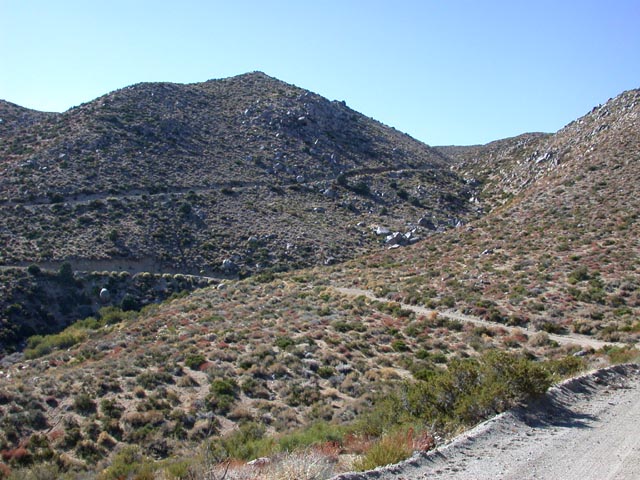
 | A view of the Goldbelt Grade climbing up to Hunter Mountain. |
|
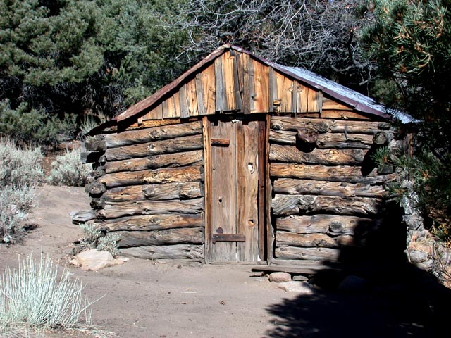
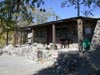
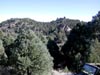
 | Hunter Cabin near the top of the Hunter Mountain Road. |
|
 | The view from Hunter Cabin. |
|
 | Another view from Hunter Cabin. |
|