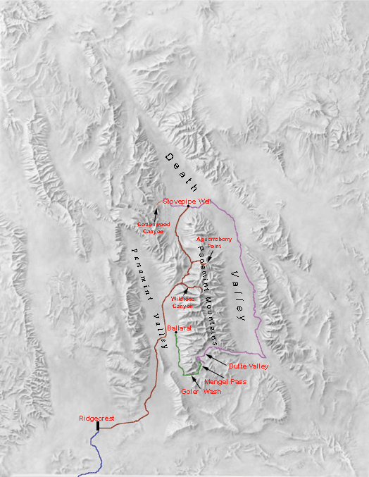
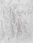
 | Our route within Death Valley superimposed upon a shaded relief map. These routes were captured by our GPS, uploaded to our computer and placed on the relief map using the OziExplorer software. |
|
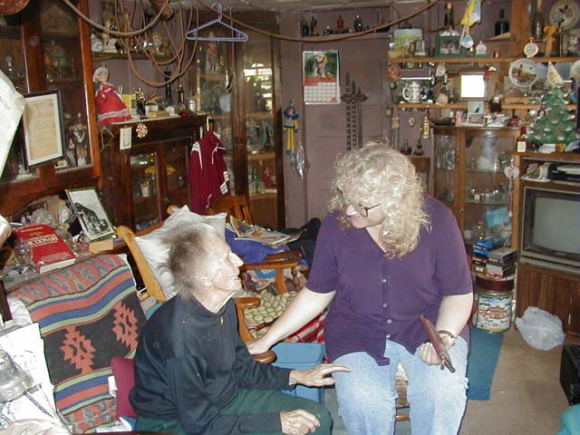
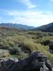
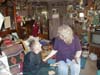 | Our trip began with a visit to the famous Burro Schmidt Tunnel in the El Paso Mountains near Red Rock State Park. Here we met Toni Seger, the long-time caretaker of the tunnel. Even though Toni is getting on in years and has trouble hearing, she still likes visitors to the tunnel to stop and talk. |
|
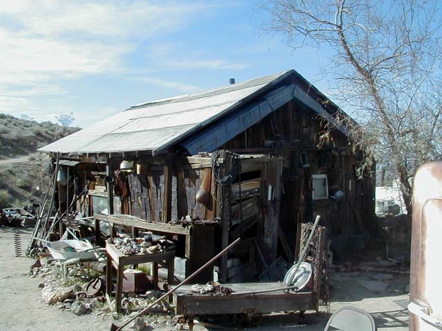
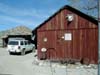
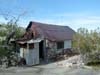
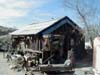 | The shack that Burro Schmidt lived in while he single handedly dug the 2200 feet of tunnel, a task that took him nearly 40 years. |
|
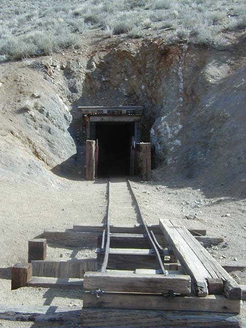
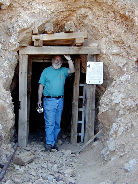
 | The entrance to Burro Schmidt's Tunnel. The tunnel takes a nearly level path through the mountain. |
|
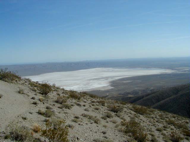
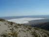 | The far end of the tunnel provides a great panorama of the area around Kohen Dry Lake. |
|
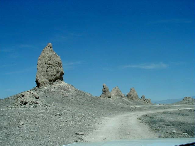
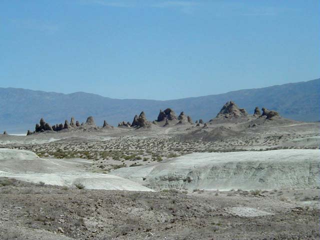
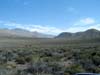
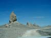 | After spending the night in Ridgecrest, we took a sidetrip to see the Trona Pinnacles. The Pinnacles are an area of tufa towers formed when a large lake covered the Searles Lake valley during the last ice age. |
|
 | The strange environment of the Trona Pinnacles provided an ideal setting for the new "Planet of the Apes" movie. The last remnants of the movie set were being dismantled and removed when we visited. |
|
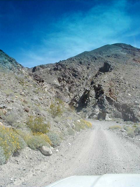
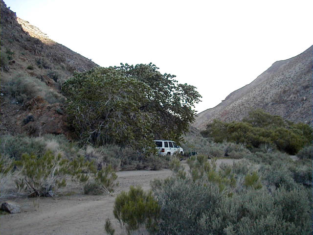
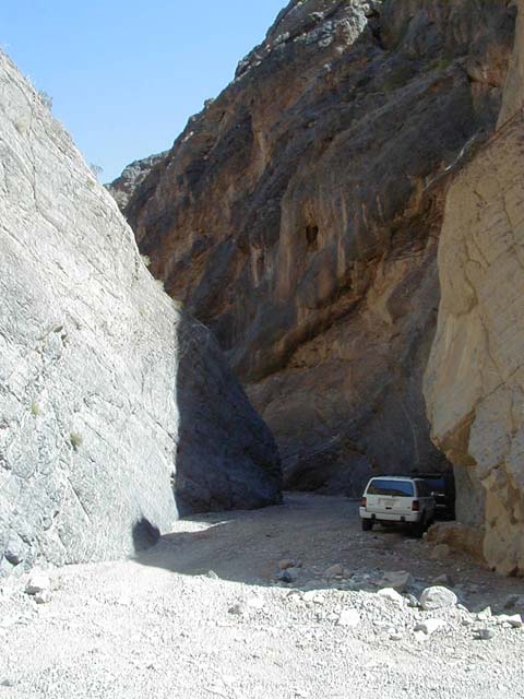
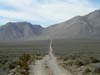
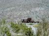
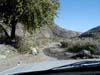
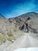 | After driving through Ballarat to the southern end of the Panamint Mountains, we turned into the entrance of Goler Wash. Goler Canyon is currently in good shape because of the roadwork done by Inyo County in recent years. |
|
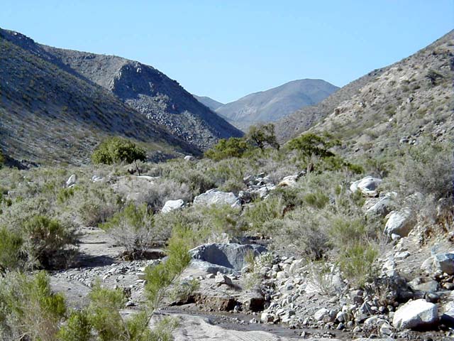
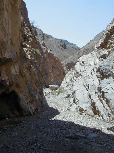
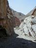
 | Goler Canyon is a narrow twisting route with sheer walls. A couple of spots, such as here at Goler Spring, have running water. |
|
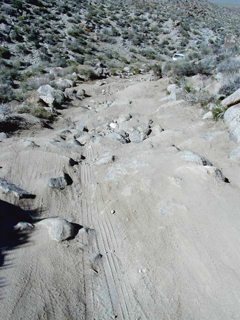
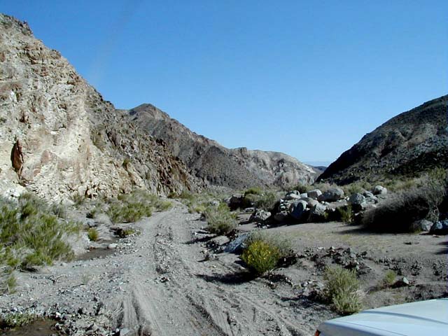
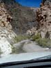
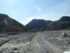
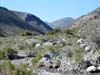
 | After leaving Goler Canyon, the route enters Death Valley National Park and winds up to the crest of the Panamint Mountains at Mengel Pass. There are a couple of rough rocky sections just below the summit, so we would definitely recommend 4WD. |
|
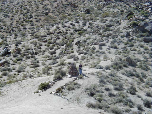
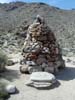 | Mengel Pass was named for a prospector named Carl Mengel. His ashes were interred in a stone cairn right at the summit. |
|
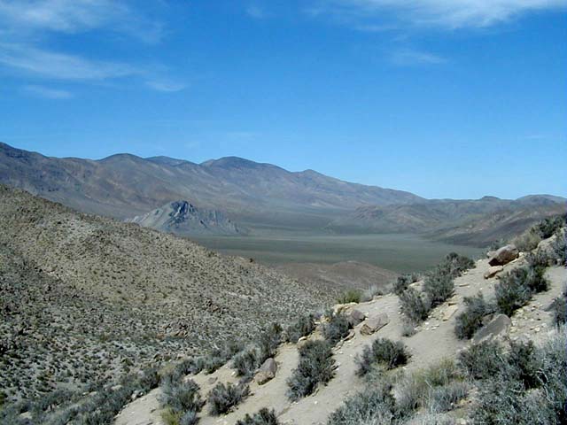
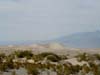
 | After reaching the summit of Mengel Pass, one is rewarded with the sweeping panorama of Butte Valley. The road drops from this point into the valley. |
|
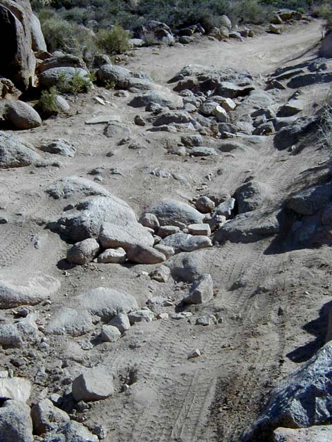
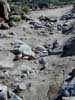
 | One of the rough sections below Mengel Pass. Crossing it just required taking our time and choosing a path carefully. There was evidence that folks had recently filled in the worst spots with rocks, saving us from an even tougher time. |
|
 | Another view of the same stretch, this one from below. |
|
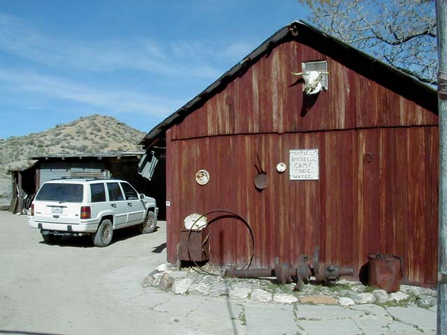
 | One of a few cabins still standing in Butte Valley. These cabins are available for overnight stays on a first come, first served basis. Russell Camp was built by Asa Russell in the 1930s after he retired and became a prospector. |
|
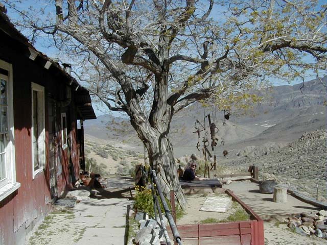
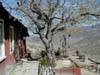 | Watered by a spring-fed drip irrigation system, this tree at Russell Camp provided a lovely setting to sit and enjoy the spectacular view. |
|
 | A close-up of the interesting "windchimes" hanging in the Russell Camp patio area. |
|
 | Carl Mengel's cabin at Greater View Spring. Named "Greater View" by Mengel because he felt the view from here was better than the view from Auguereberry Point, discovered by his friend Pete Aguereberry. |
|
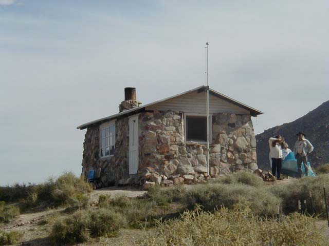
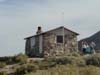 | The Geologist's or Stone Cabin at Anvil Spring. In our opinion, this is the smallest yet nicest of the cabins in Butte Valley. Anvil Spring was named in 1867 when a blacksmith's anvil was recovered from the small pool at the spring. The anvil had been thrown in seven years earlier by prospectors frustrated at not finding any gold and unwilling to haul the anvil any further. |
|
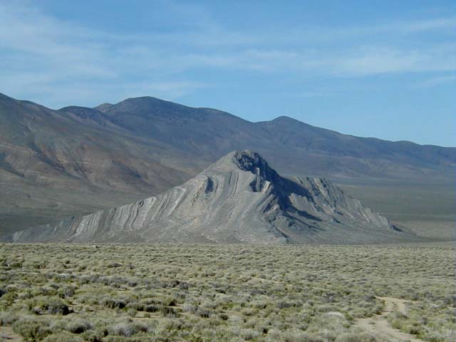
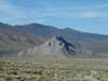 | Butte Valley is so named because of Striped Butte, made of prominently striped Paleozoic limestones. |
|
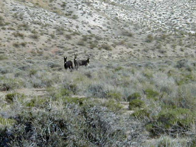
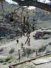
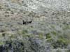 | Burros in Butte Valley. Feral burros once owned by prospectors have adapted well to parts of Death Valley National Park. |
|
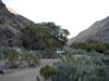
 | The view from our first campsite. Though there is little surface water, the spring supports a large thicket of willows and other trees and plants. Because of the water, there is an abundance of wildlife, including rabbits, quail and the aforementioned burros. |
|
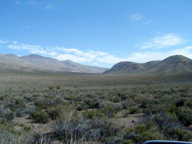
 | Looking across Butte Valley toward the ridge separating the valley from Warm Spring Canyon. |
|
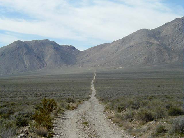
 | Looking back across Butte Valley toward Mengel Pass. |
|
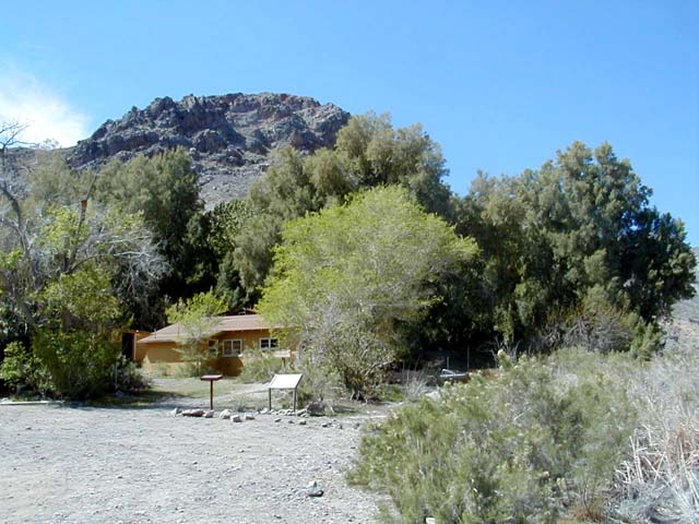
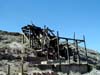
 | The mining camp operated by Pfizer at Warm Spring. Mining for talc here was abandoned around 1980. |
|
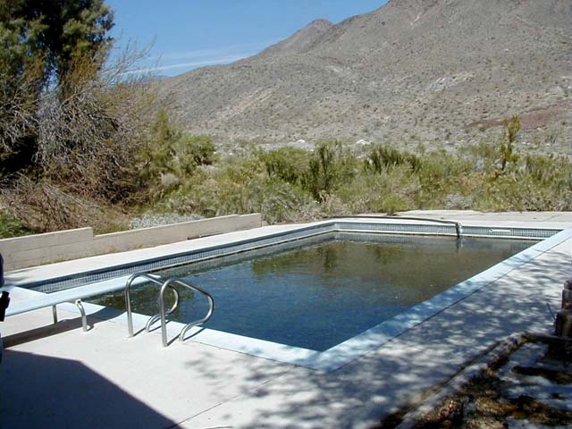
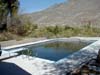 | The famous Pfizer Camp swimming pool fed by water from Warm Spring. |
|
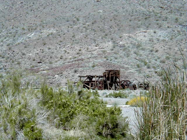
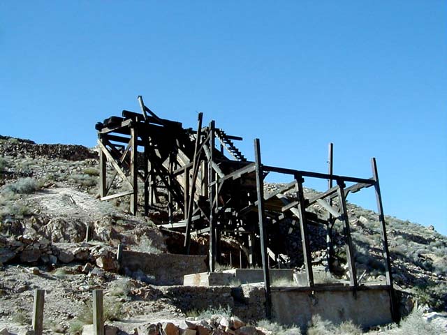
 | Remnants of the Gold Hill Mill near the Pfizer Camp. The mill was built around 1939. |
|
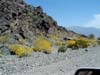 | Wildflowers near the entrance to Warm Spring Canyon. |
|
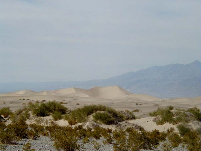
 | The Death Valley Sand Dunes near Stove Pipe Wells. These picturesque sand dunes are some of the most photographed scenery in the park. |
|
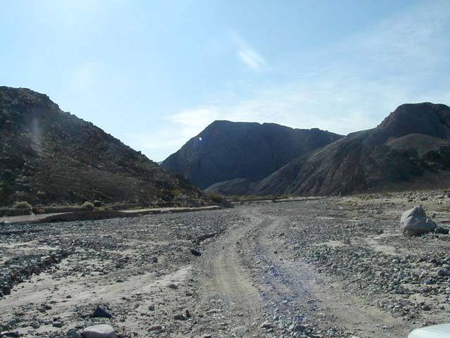
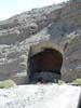
 | The entrance to Cottonwood Canyon, northwest of Stovepipe Wells. The road follows the wash where it exits Cottonwood Canyon...not a good place to be if there are thunderstorms in the local mountains! |
|
 | The road up Cottonwood Canyon frequently follows the streambed. |
|
 | Midway up Cottonwood Canyon. The road is in there somewhere! |
|
 | Our second night was spent at this spot at the upper end of Cottonwood Canyon. |
|
 | Cottonwood Creek runs year round in the upper end of Cottonwood Canyon. This part of the canyon supports one of the most lush riparian habitats in the park. We've read that wild horses have been seen here. |
|
 | Another section of Cottonwood Canyon. |
|
 | A large "cave" caused by erosion when flood waters swept around a bend in the canyon. |
|
 | Looking up Marble Canyon from the end of the road. Marble Canyon is a sheer-walled side canyon that branches off Cottonwood Canyon. |
|
 | Parked at the end of Marble Canyon. Here is where we discovered that our power steering fluid was leaking and the reservoir was nearly empty. This forced us to limp all the way back to Furnace Creek (to stock up on power steering fluid) and to abandon our plans to drive out to Racetrack Playa and Hidden Valley. |
|
 | The Eureka Mine, a gold mine owned and worked by Pete Aguereberry in the early 1900s. The mine appears to be haunted by a grisly ol' "prospector". |
|
 | The Cashier Mill, near the Eureka and Cashier Mines. The mill processed ores from these mines around 1917. |
|
 | The view from Aguereberry Point, overlooking the southern end of Death Valley. Pete Aguereberry built the road to this spot so others could enjoy this vista. |
|
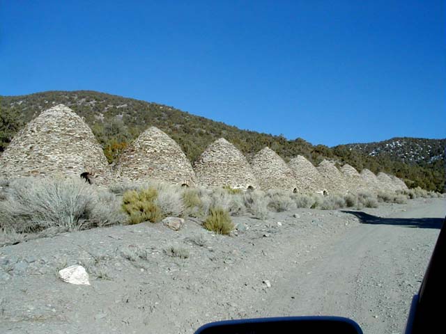
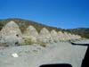 | The Wildrose Charcoal Kilns. These beehive kilns were built in 1876 to produce charcoal from the local pinyon pines. The charcoal was used at the Modoc Mine silver smelter, across the Panamint Valley. |
|
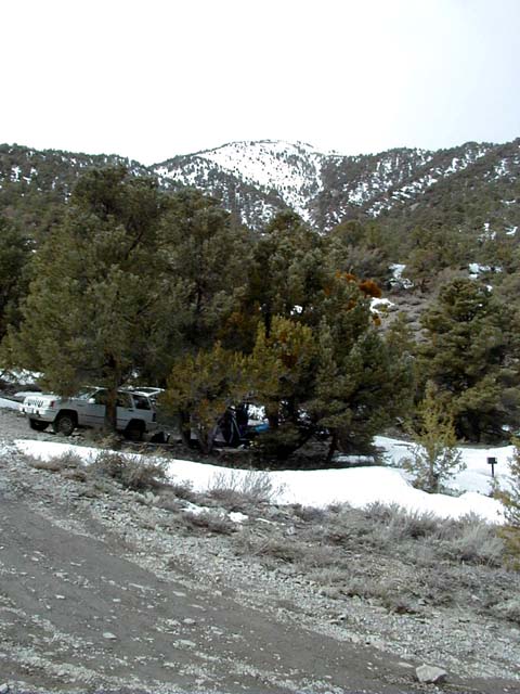
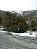 | Thorndike Campground. After enduring 90 degree weather at Furnace Creek earlier in the day, we then found ourselves camping in the snow our last night in Death Valley National Park. |
|
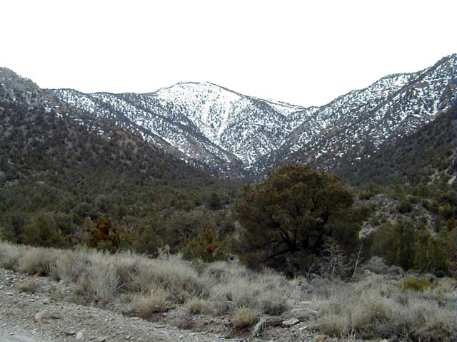
 | As we sadly started for home earlier than planned, we looked back at the snow covered Panamint Mountains. We're already starting to think about our next trip to one of our favorite places to explore! |
|